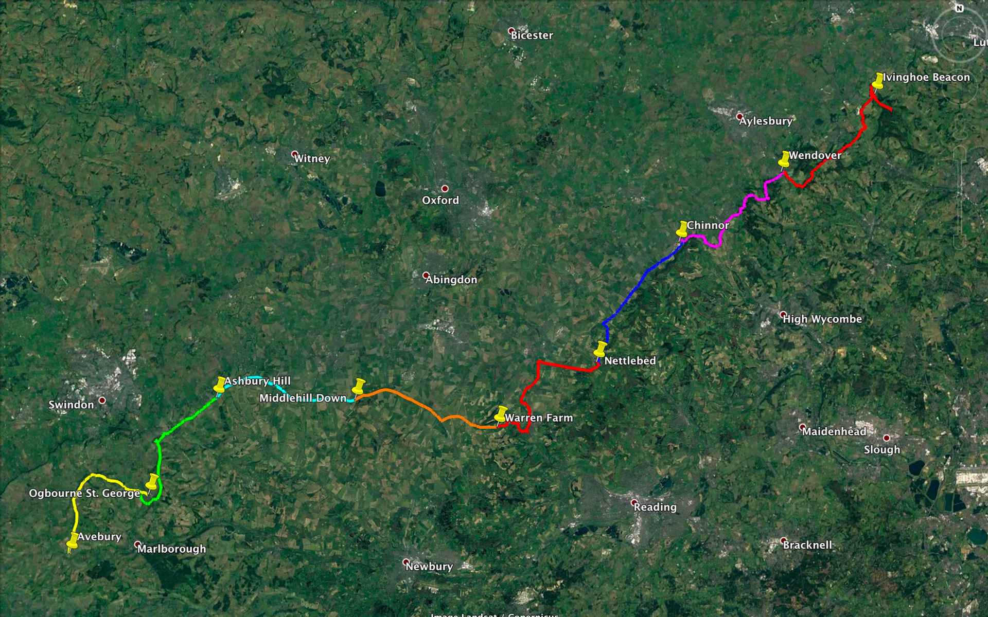
Map of Ridgeway Path
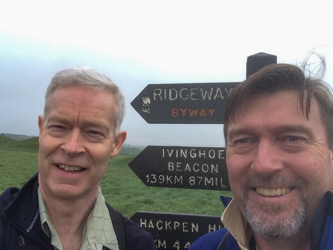
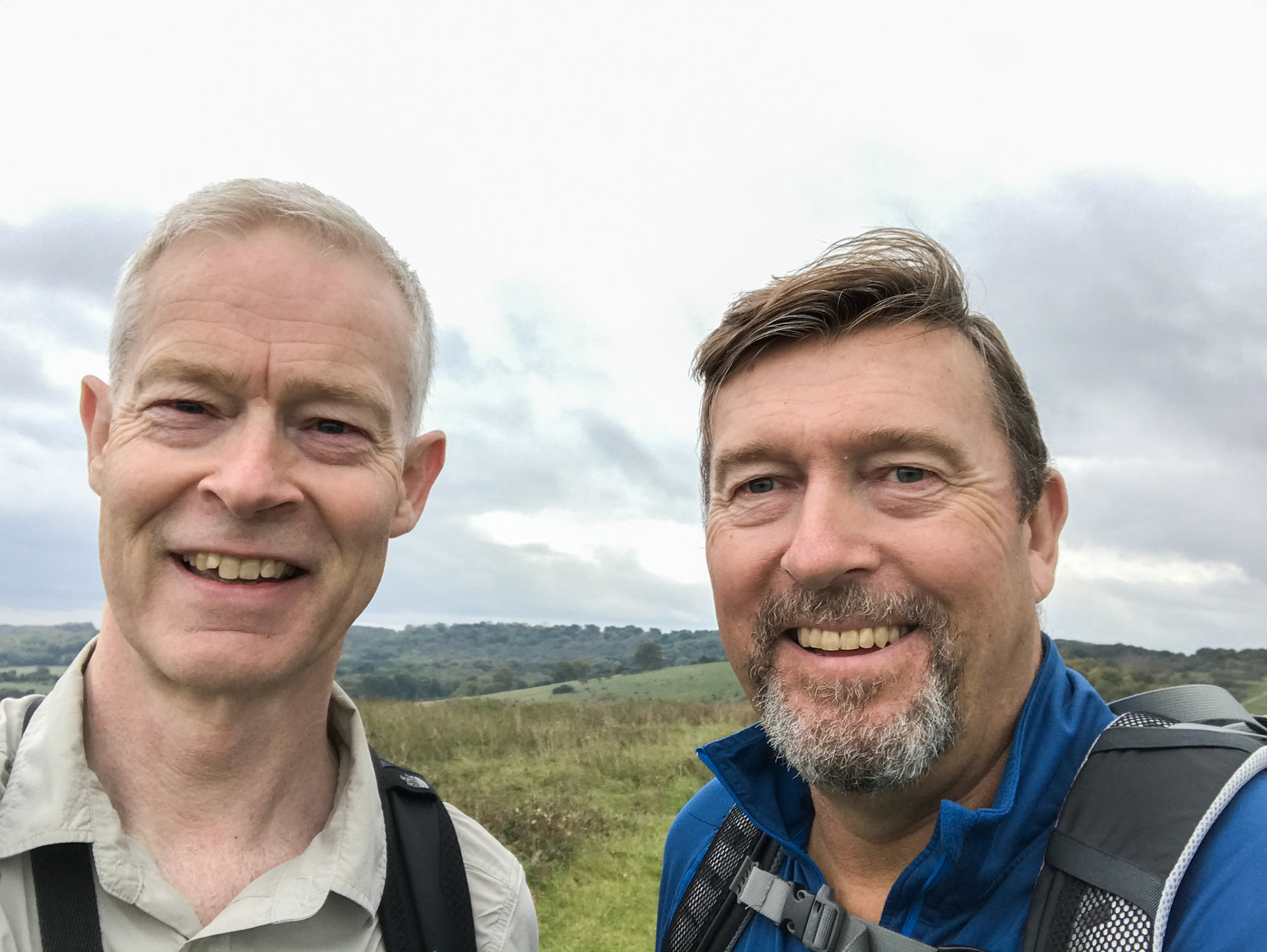
Ian and John selfie at start, Avebury
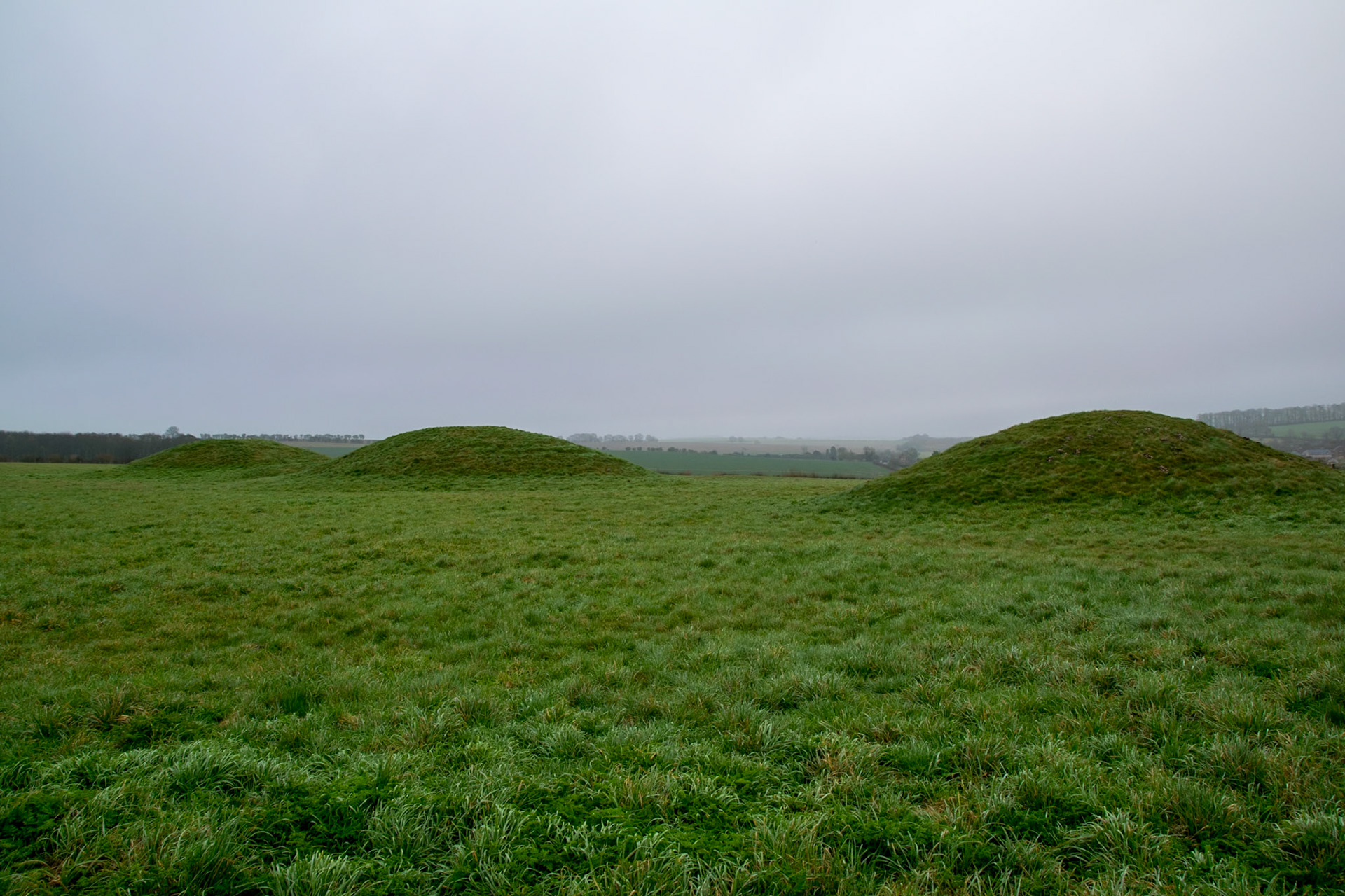
Overton Hill (Bronze Age Tumuli), Avebury
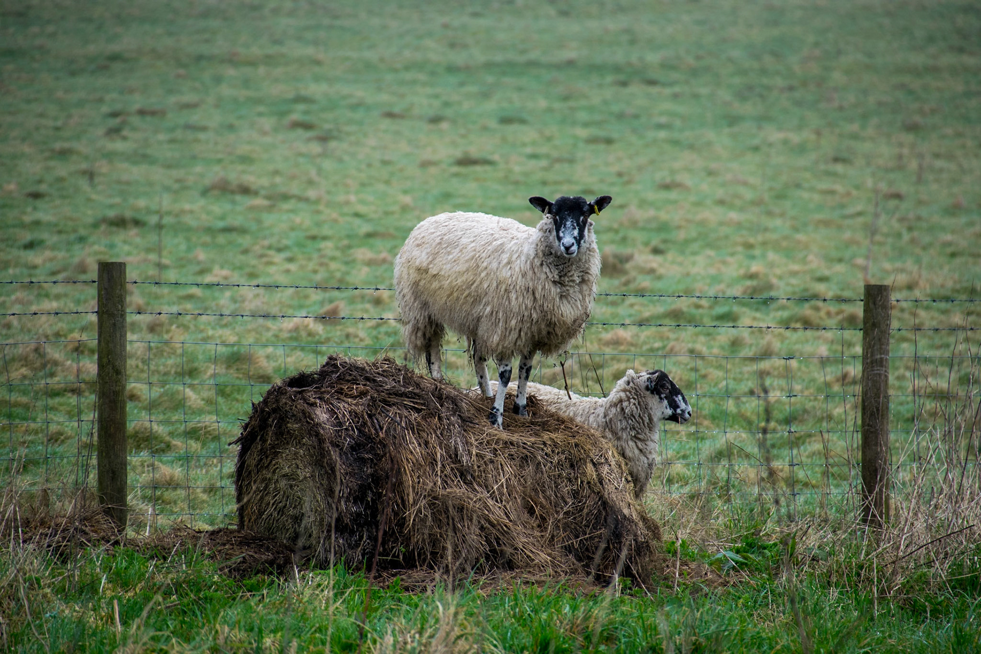
Sheep, Avebury
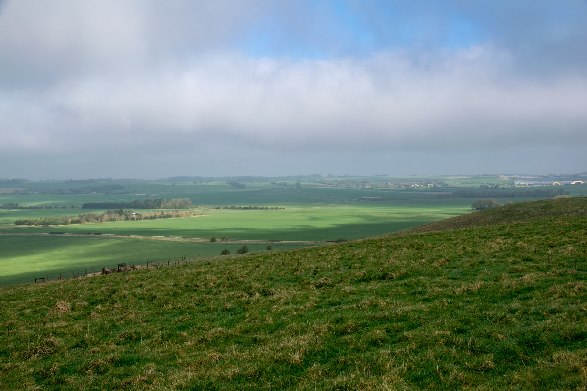
View from path, Winterbourne Monkton
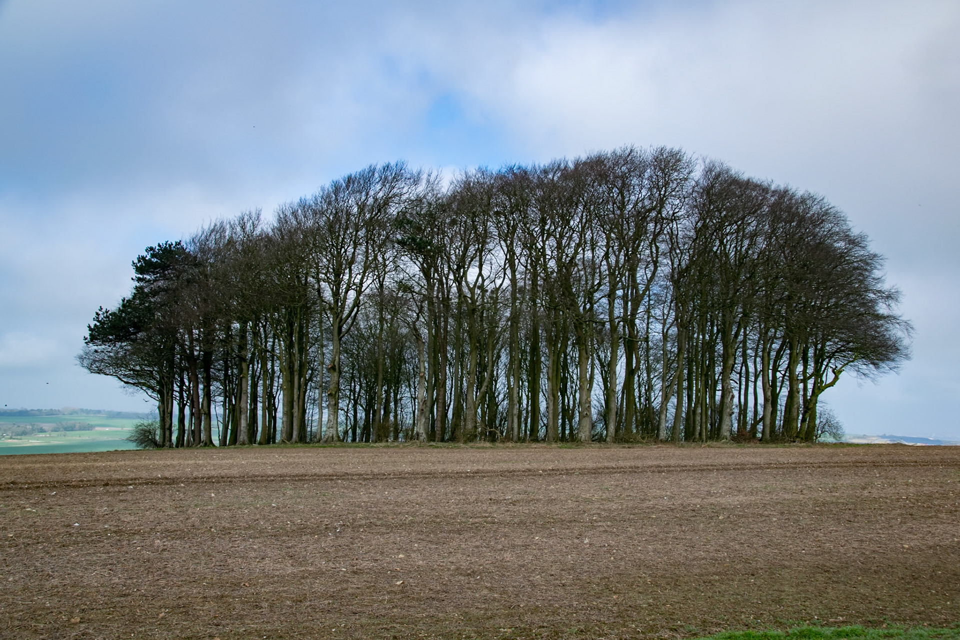
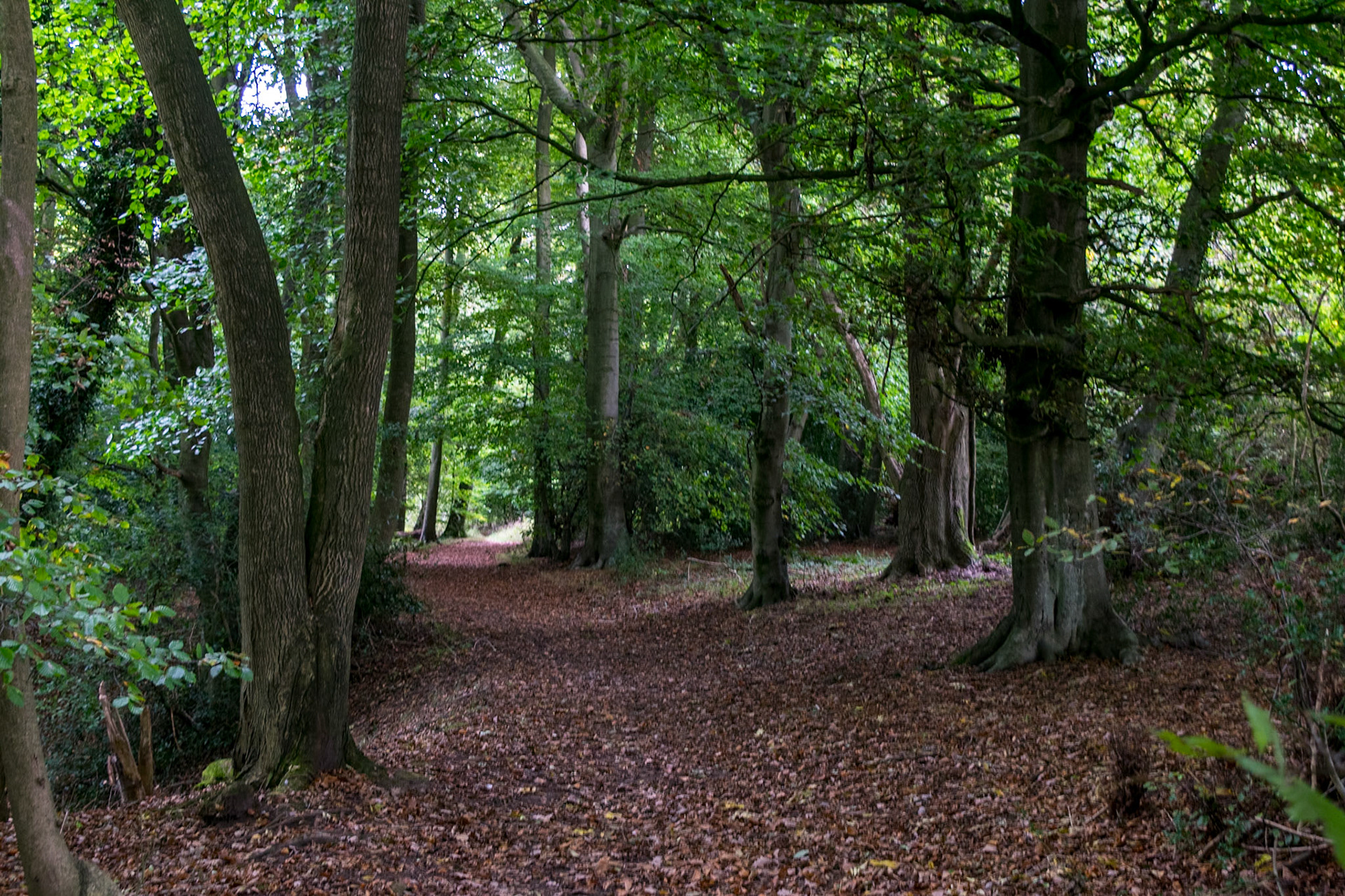
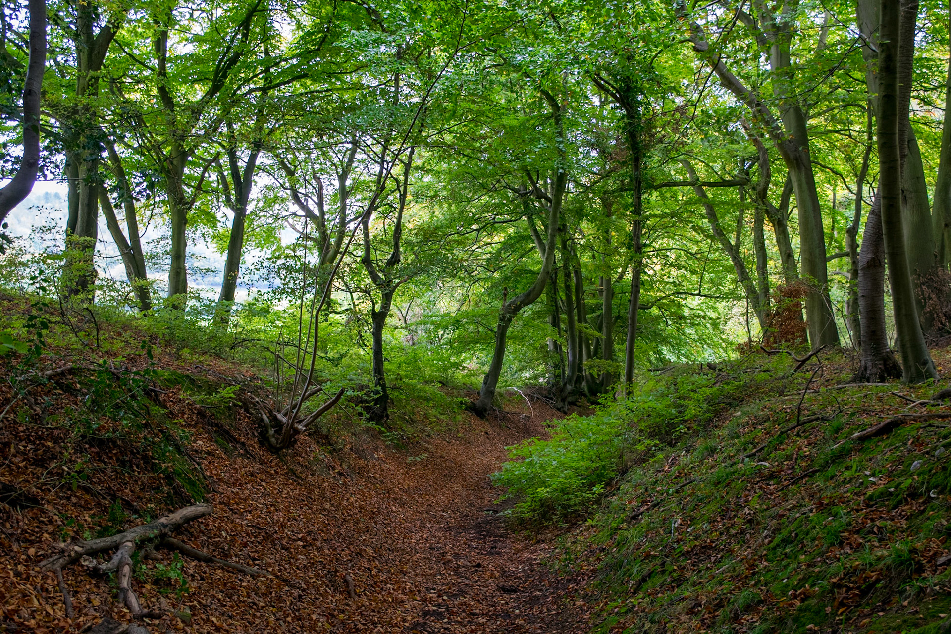
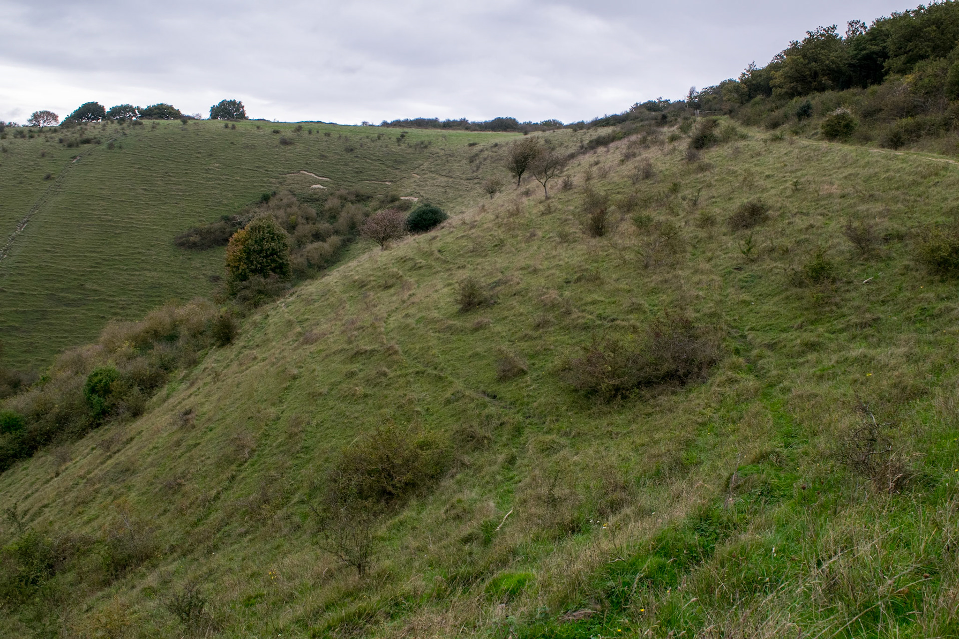
Trees at Hackpen Hill, Winterbourne
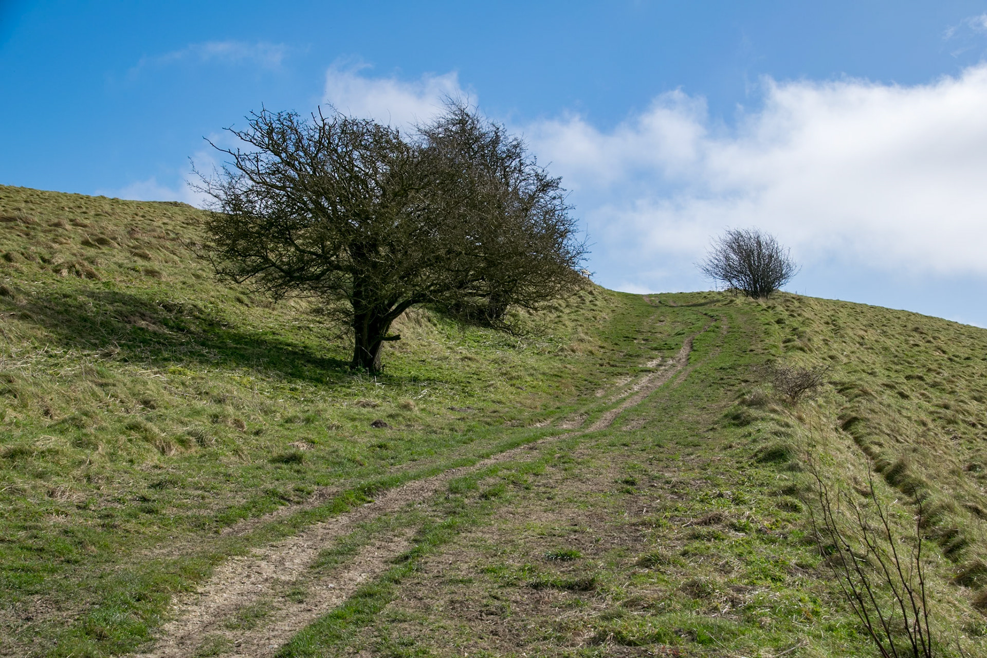
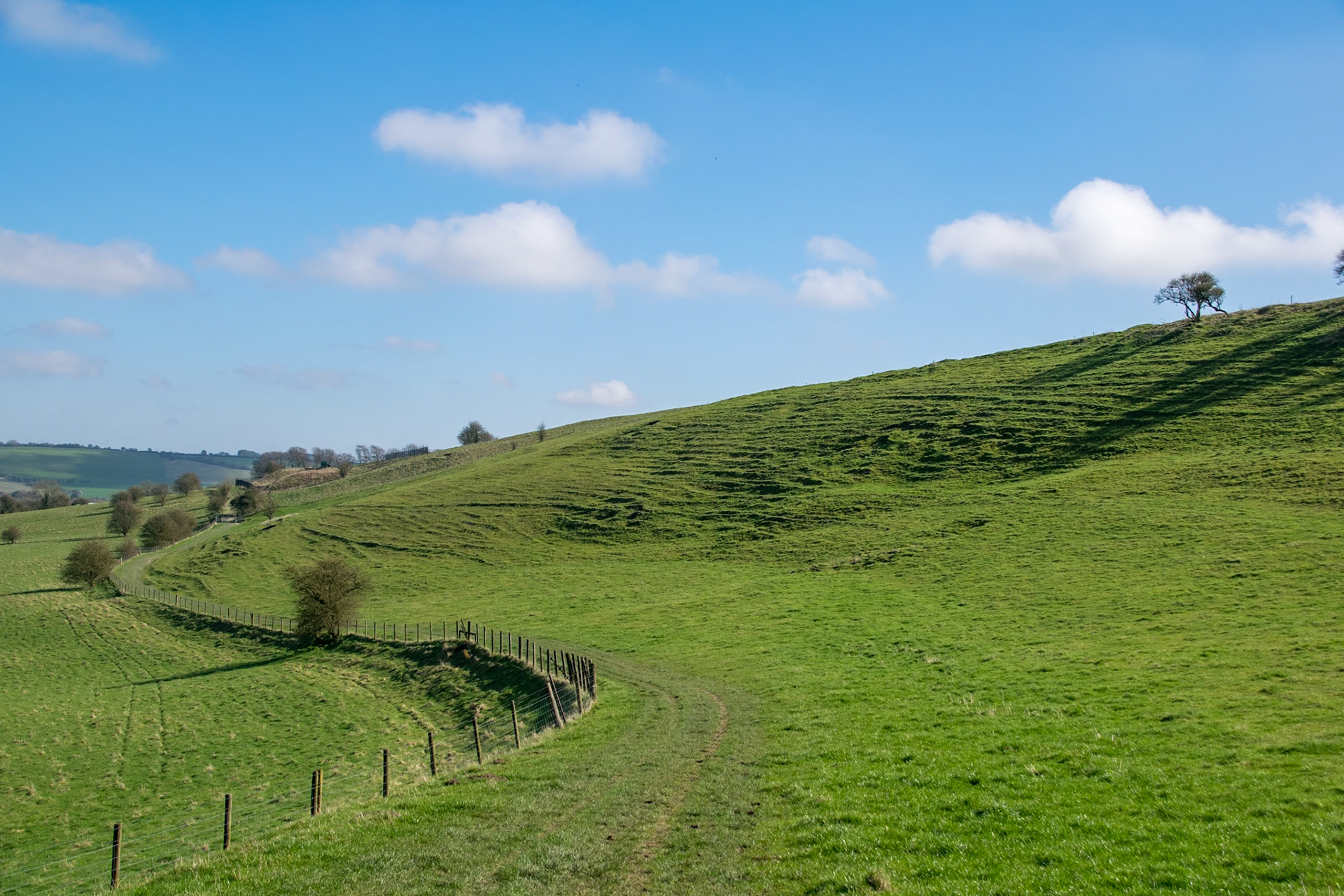
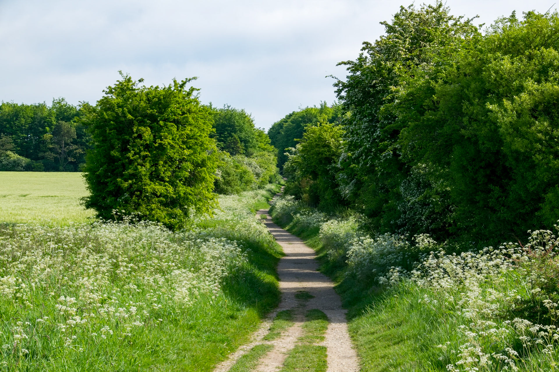
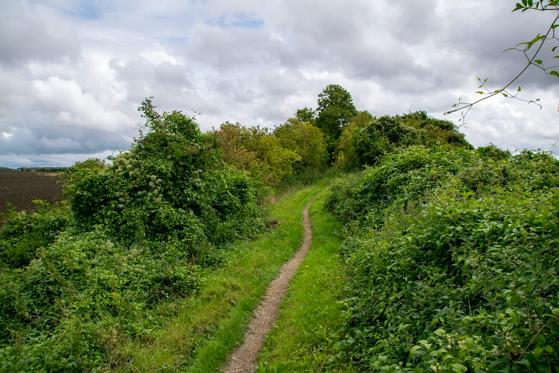
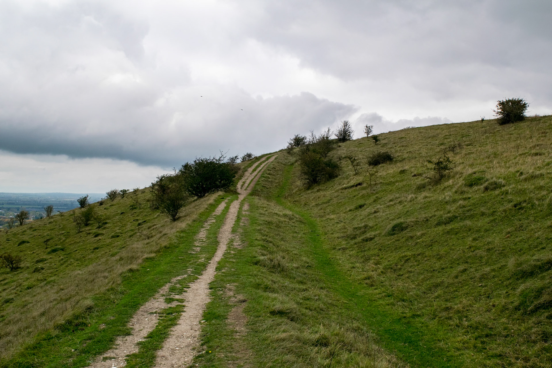
Path to Barbury Castle
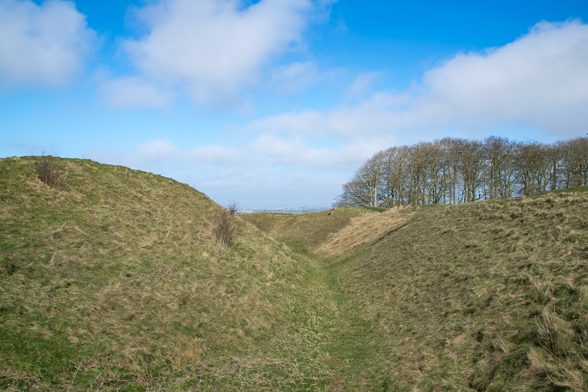
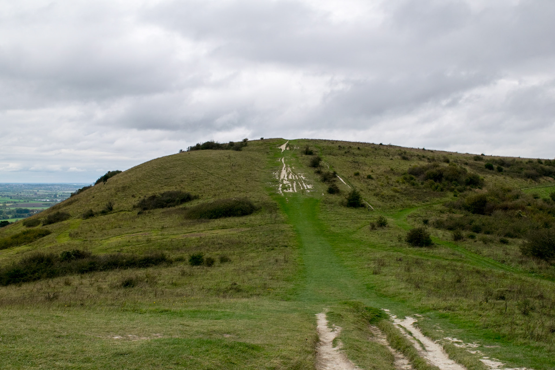
Barbury Castle (Iron Age Hill Fort)
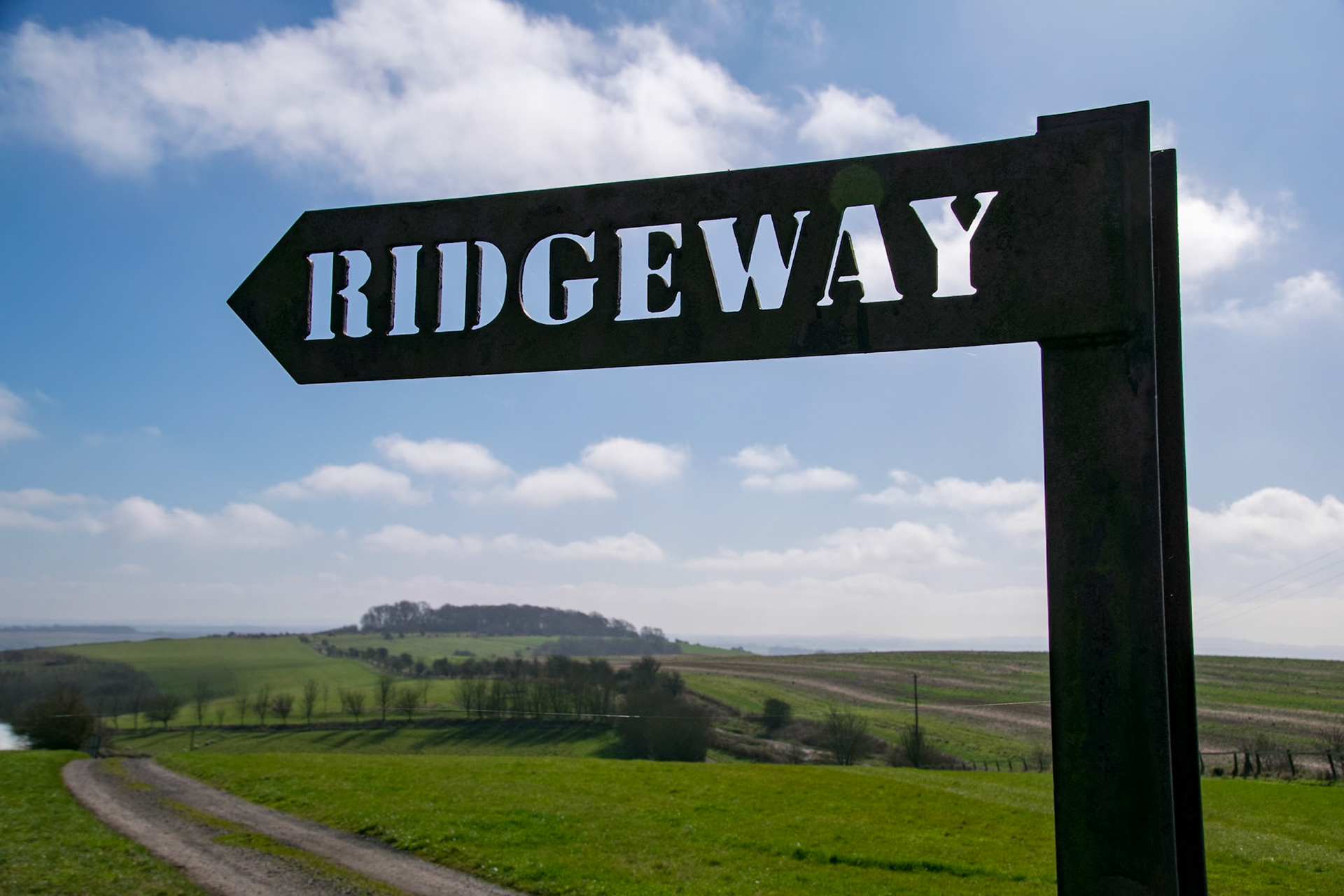
Ridgeway sign, Barbury Castle
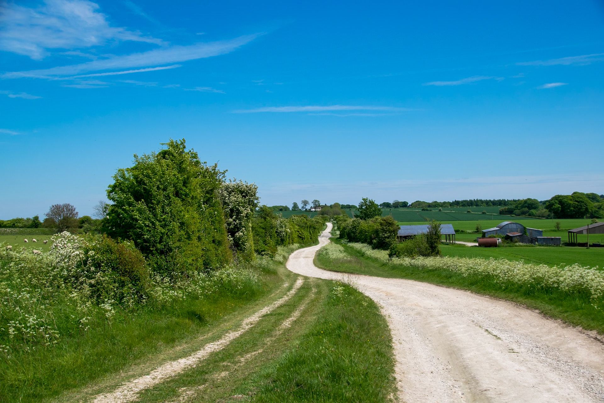
Approaching Ogbourne St George
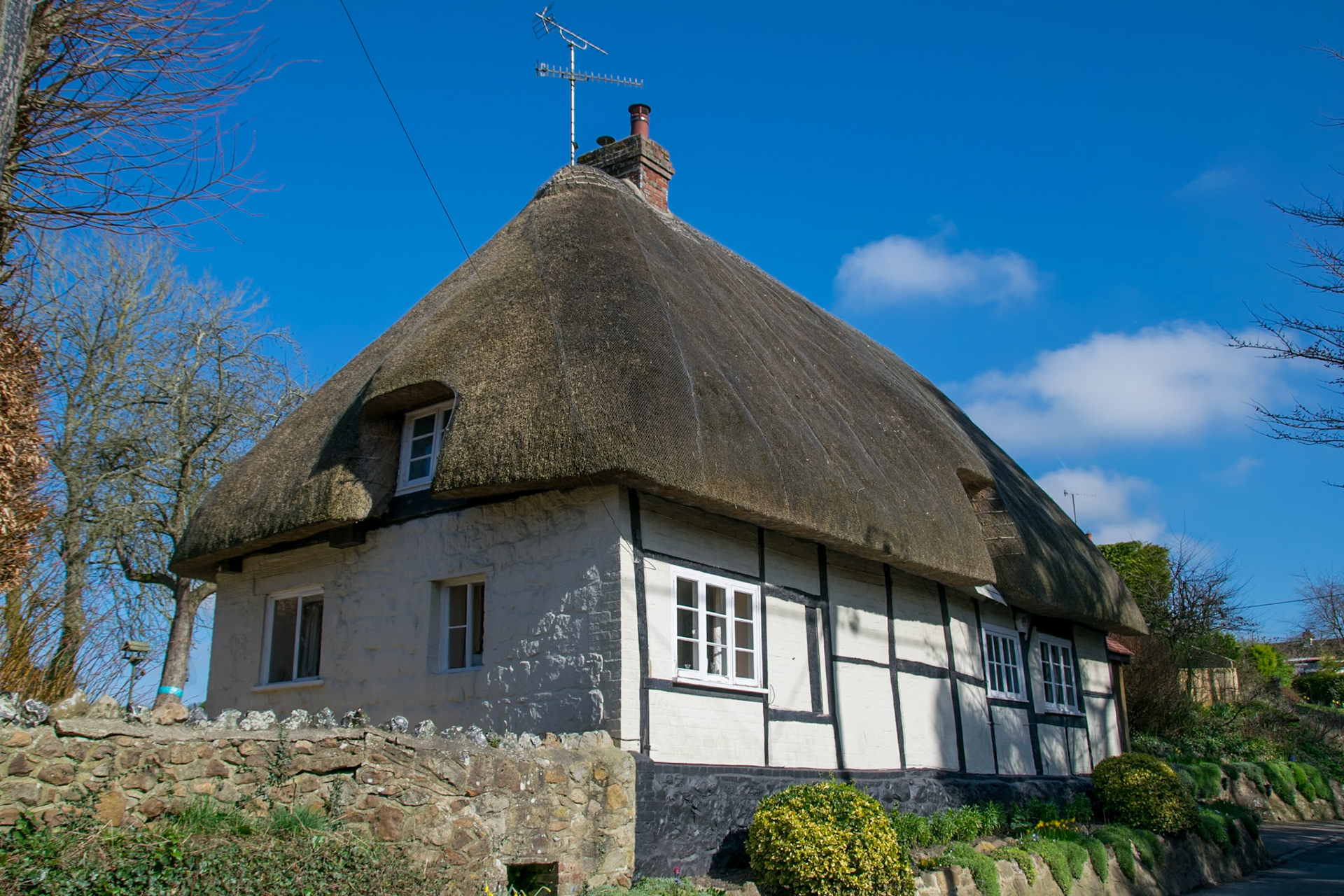
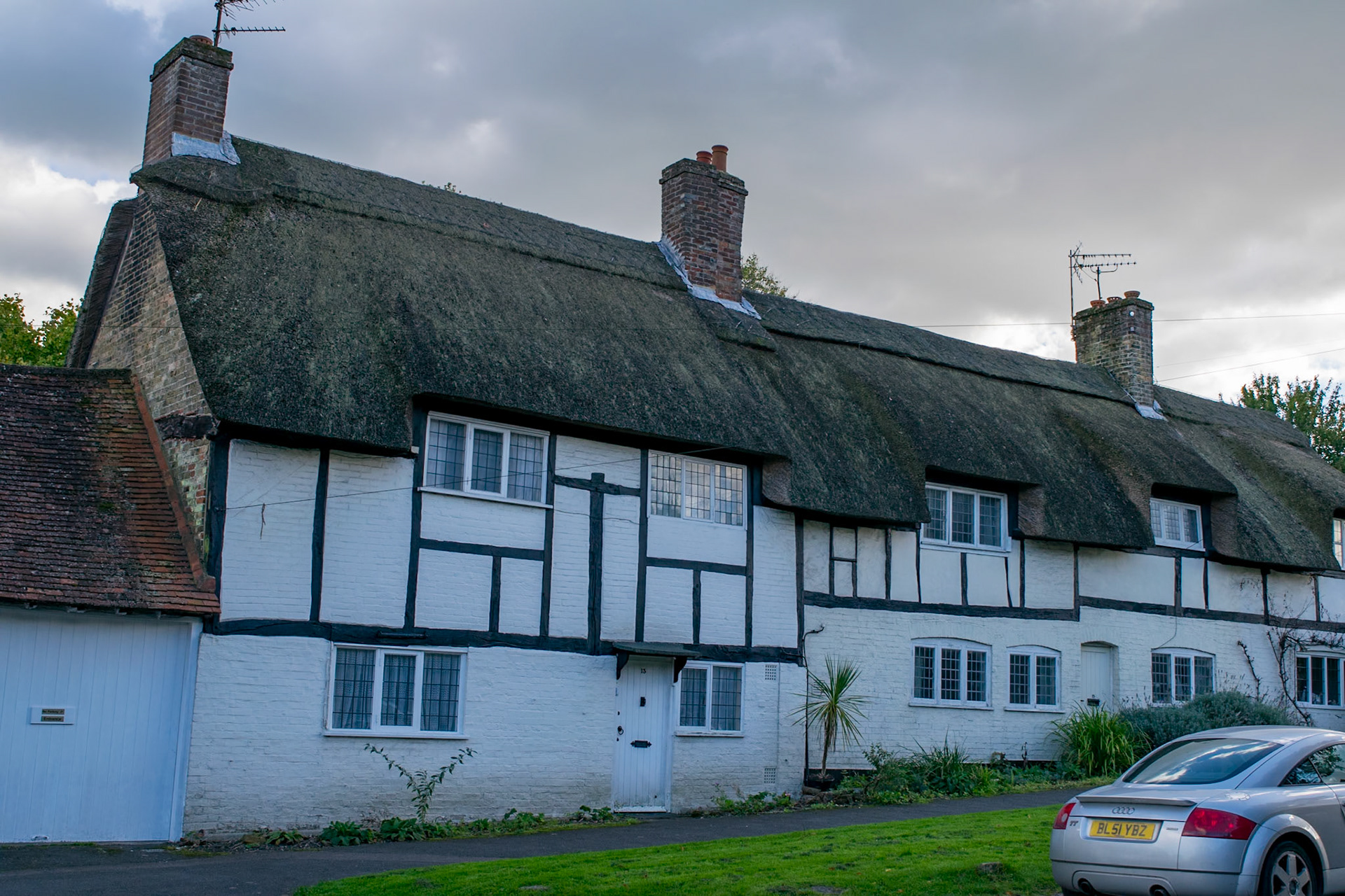
Thatched cottage, Ogbourne St George
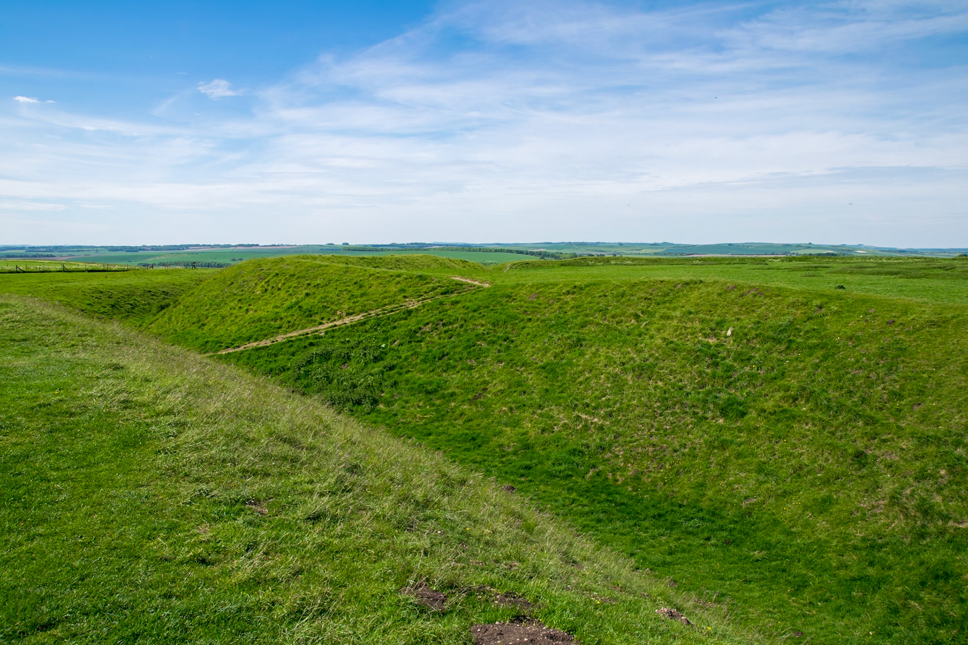
Liddington Castle (Iron Age Hill Fort)
Leaving Ashbury Hill
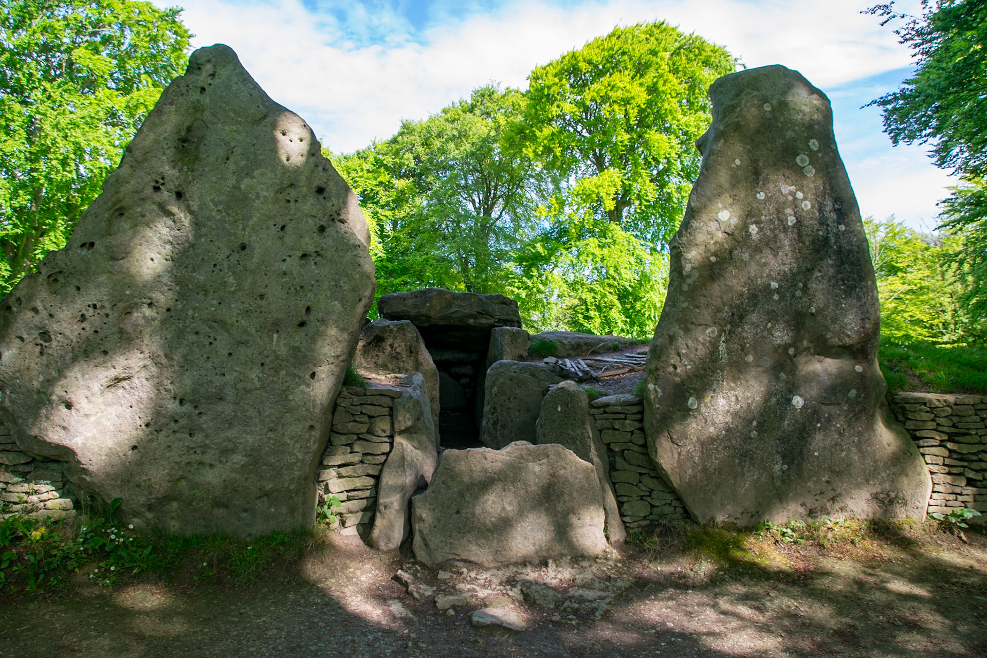
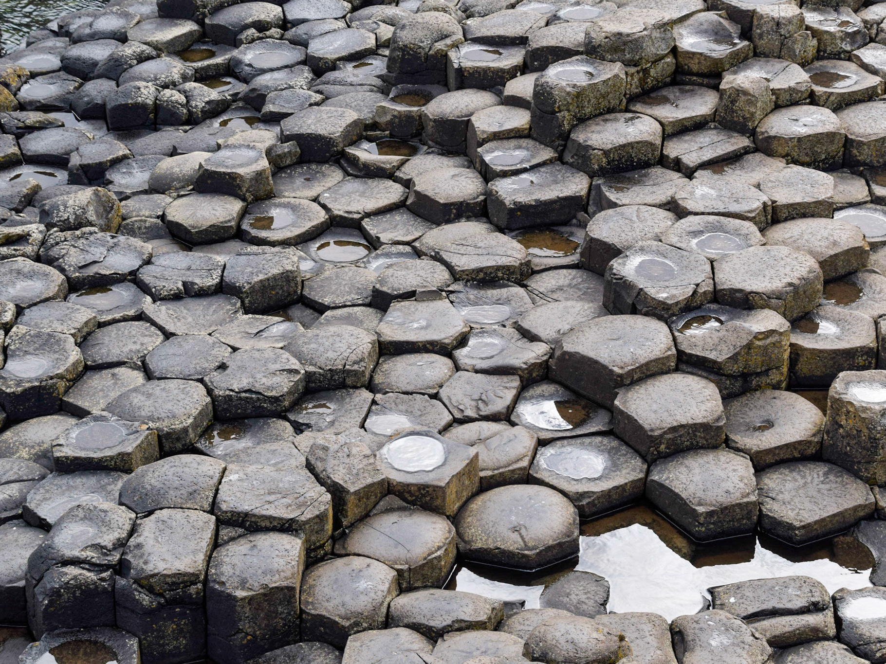
Wayland's Smithy (Neolithic Burial Chamber), near Ashbury
Uffington Castle (Iron Age Hill Fort)
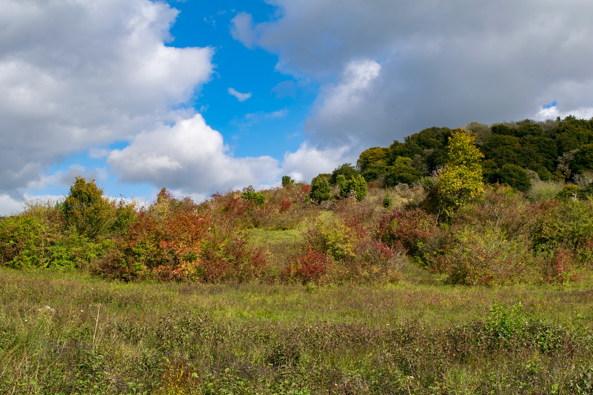
Approaching Middehill Down, near Wantage
Leaving Middehill Down, near Wantage
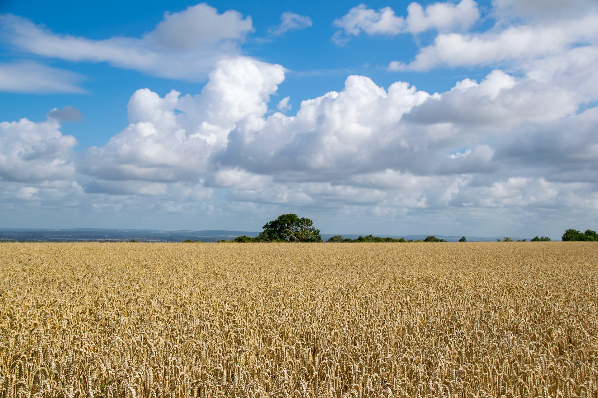
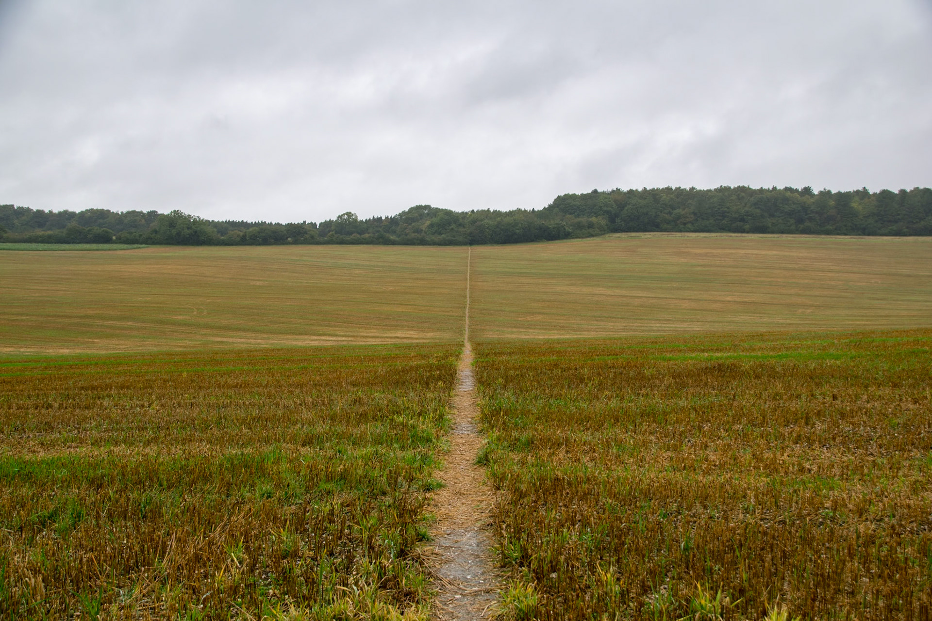
Path, near East Ilsey
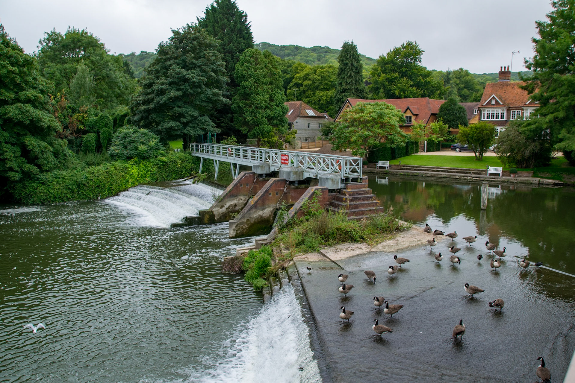
Weir on River Thames, Goring
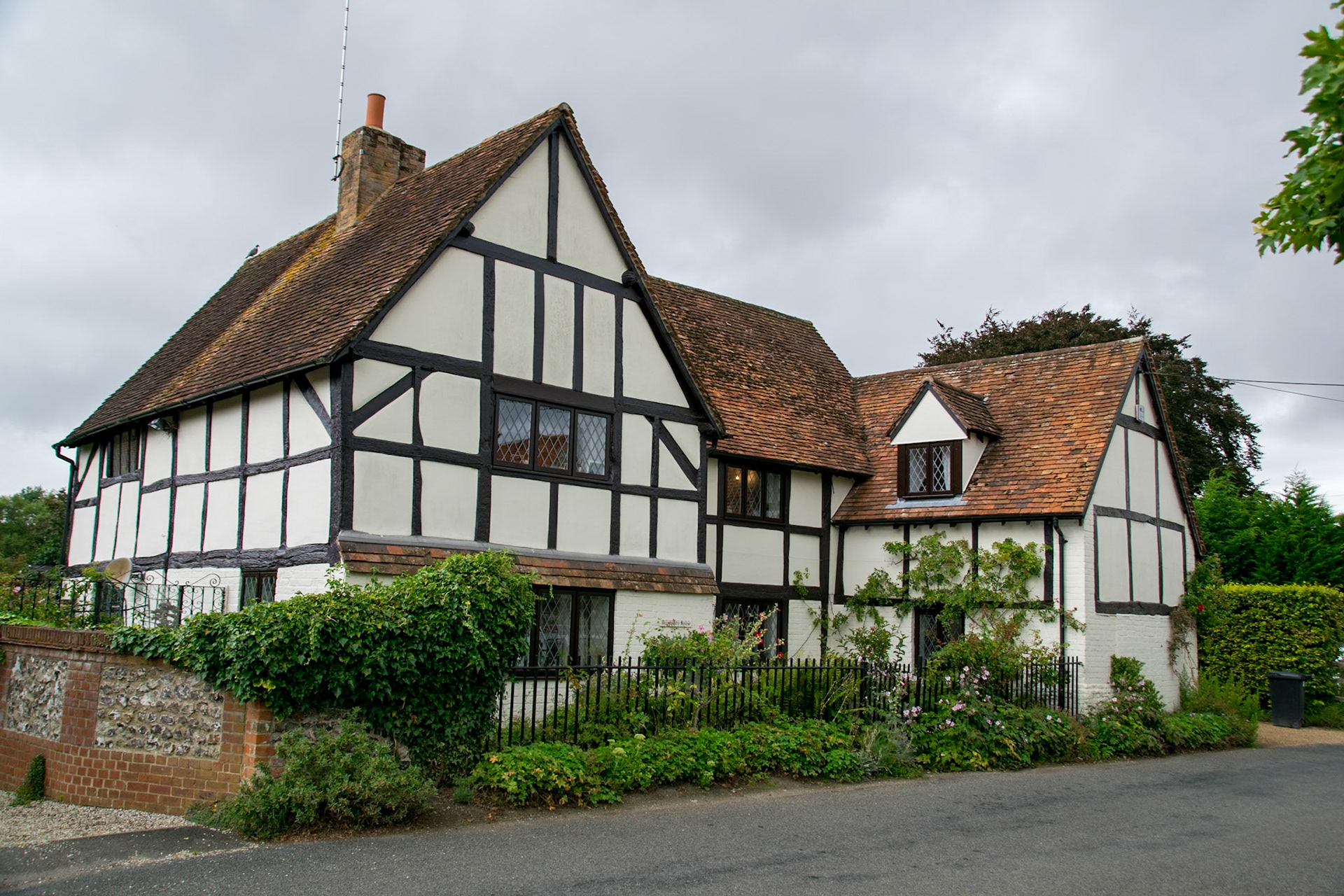
South Stoke
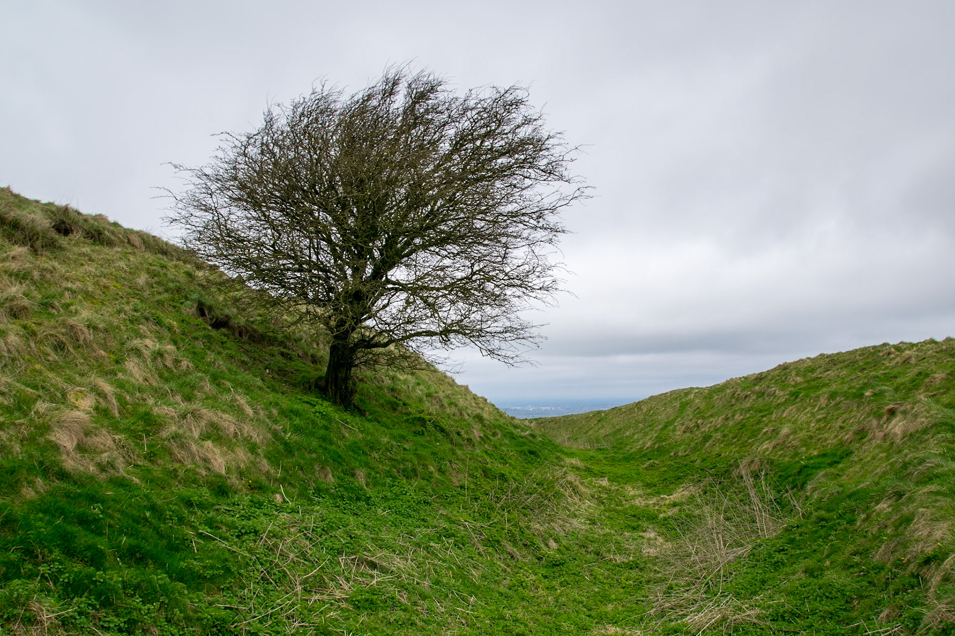
Grim's Ditch (Iron Age Boundary Marker), leading up to Nuffield
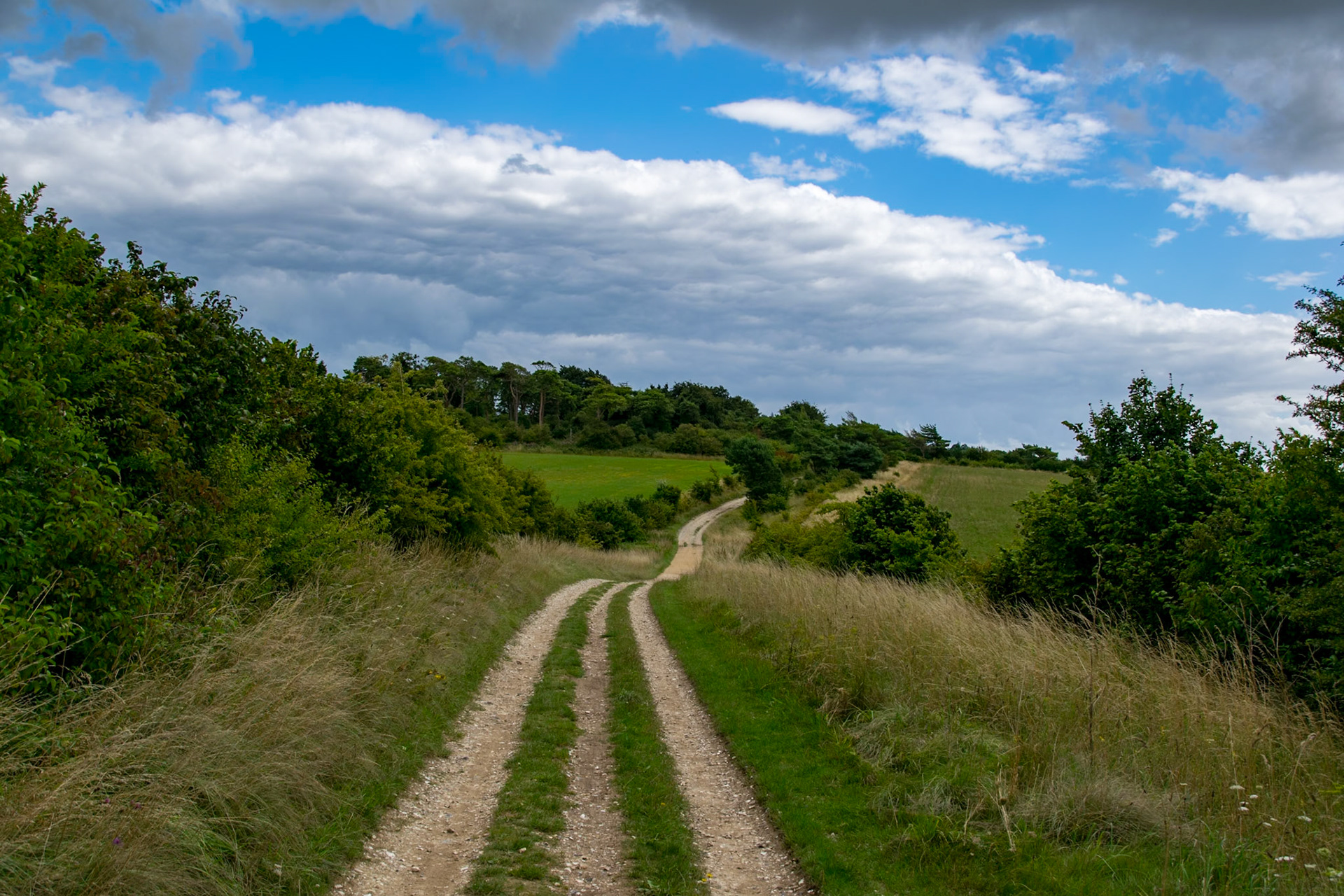
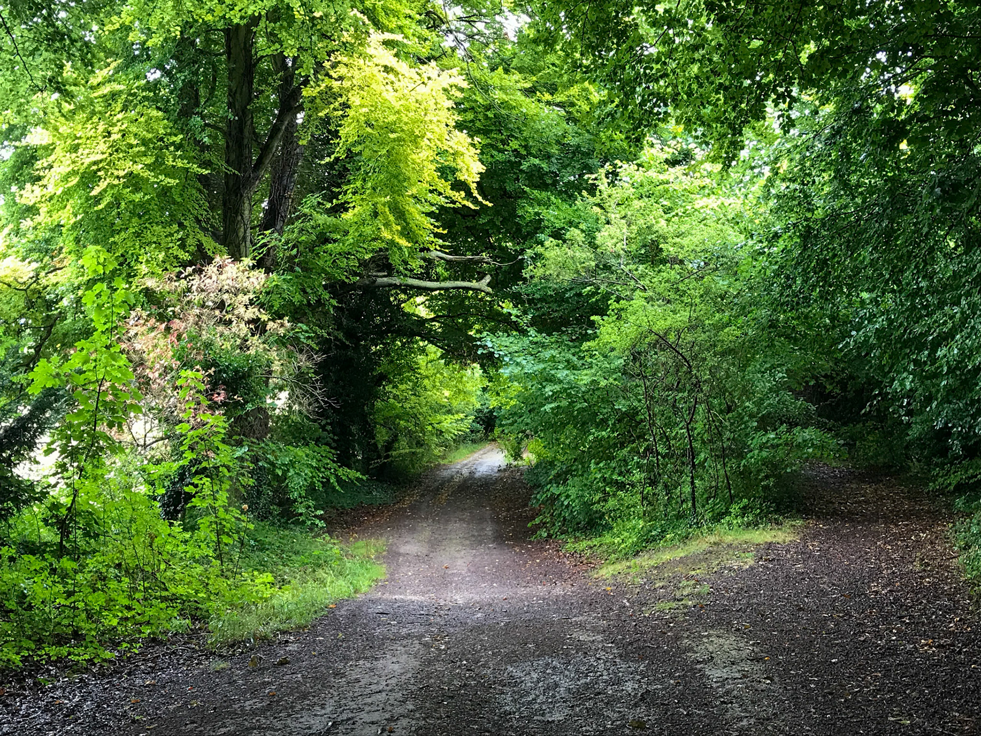
Path near Nuffield
Path near Lewknor
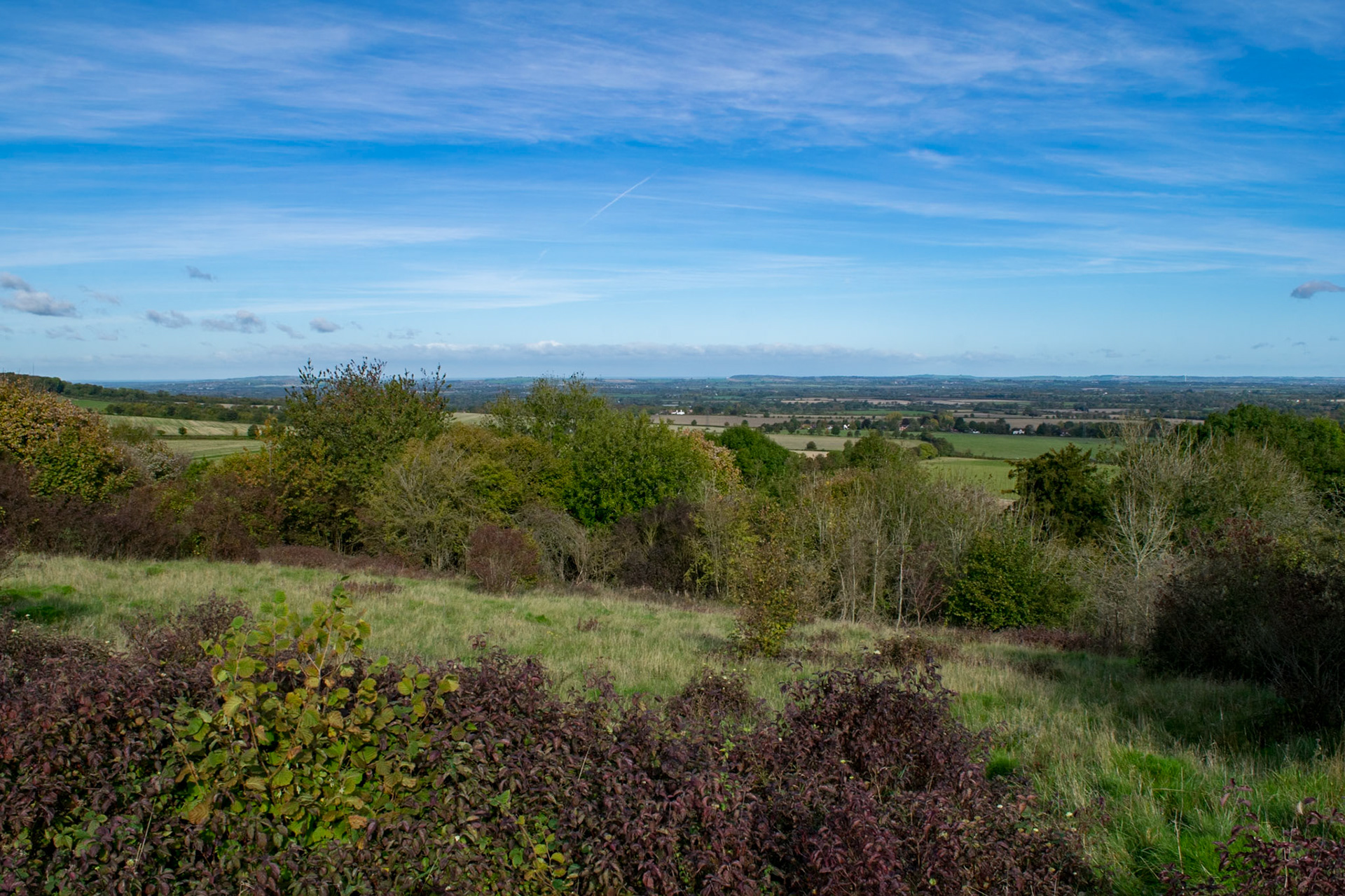
View from Path near Chinnor
View from Path near Saunderton Lee
Path near Princes Risborough
View from Path near Askett
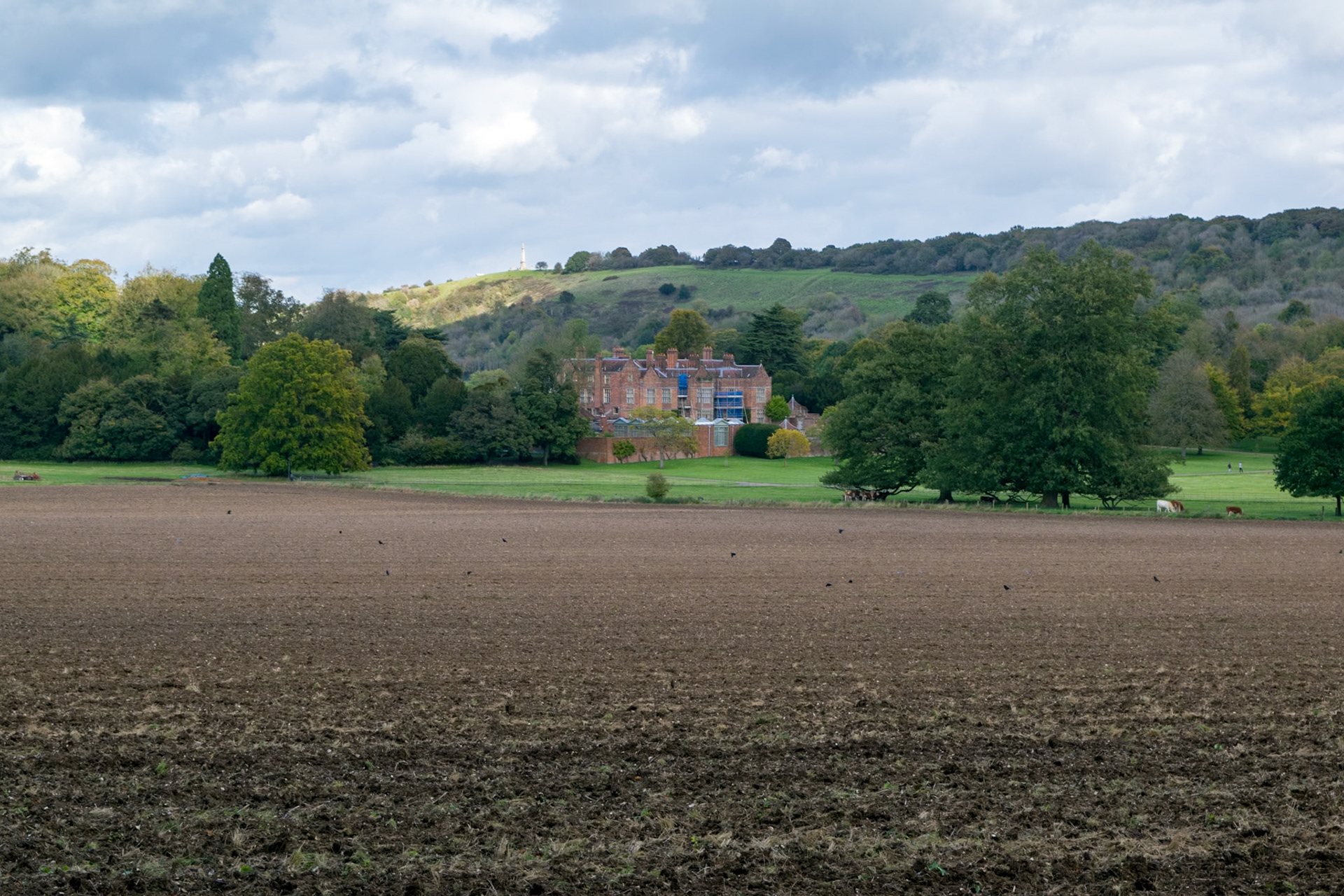
Chequers, near Great Kimble
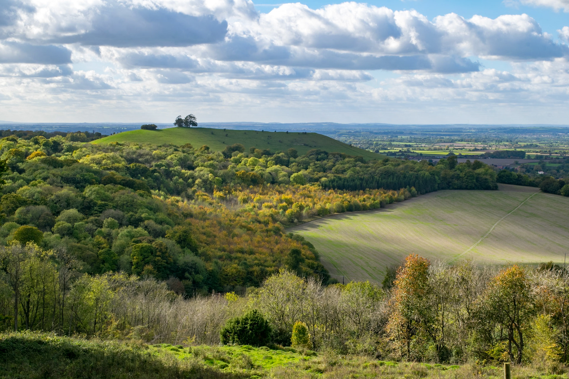
View from Path near Ellesborough
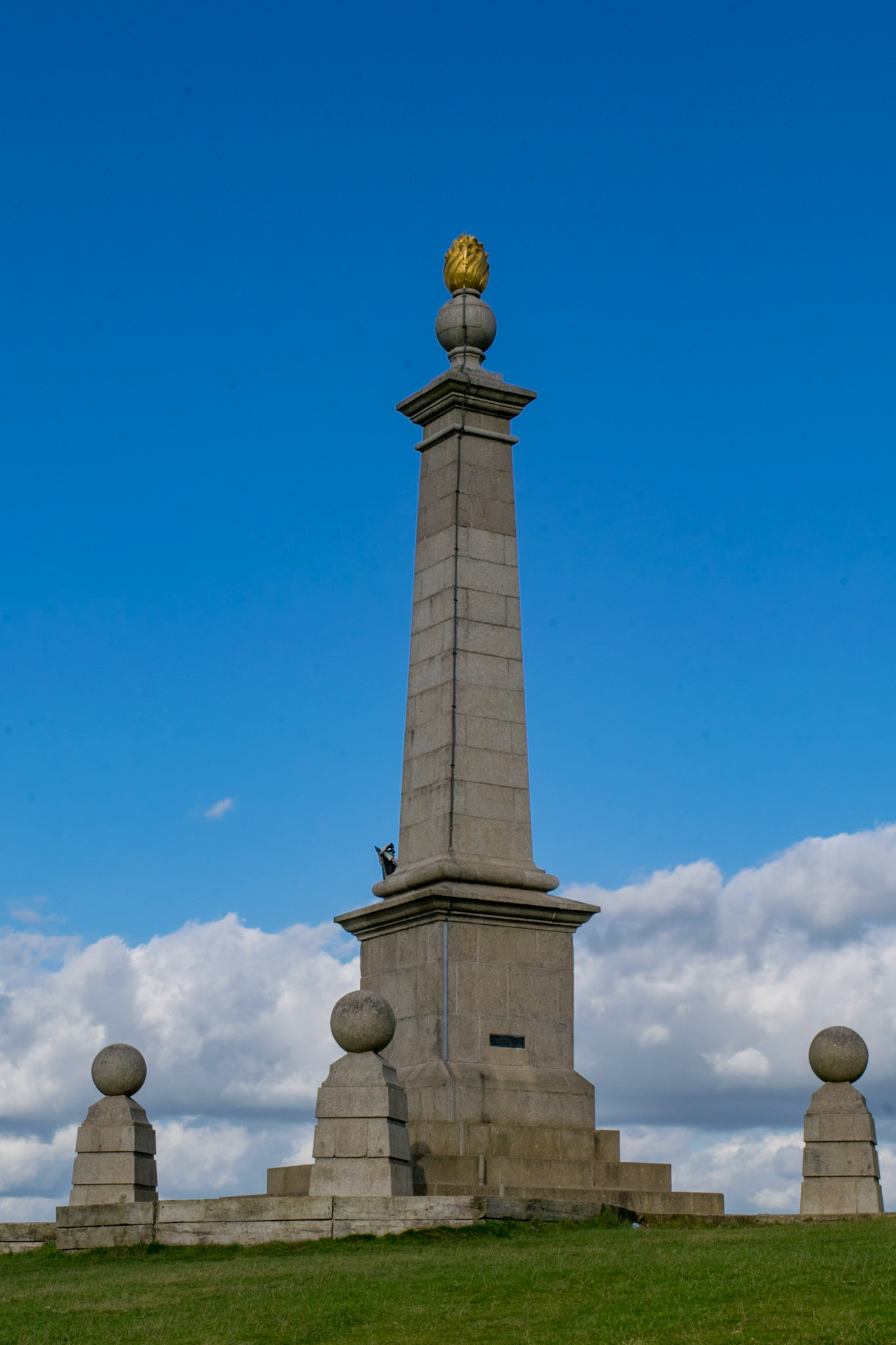
Boer War memorial, near Ellesborough
Wendover
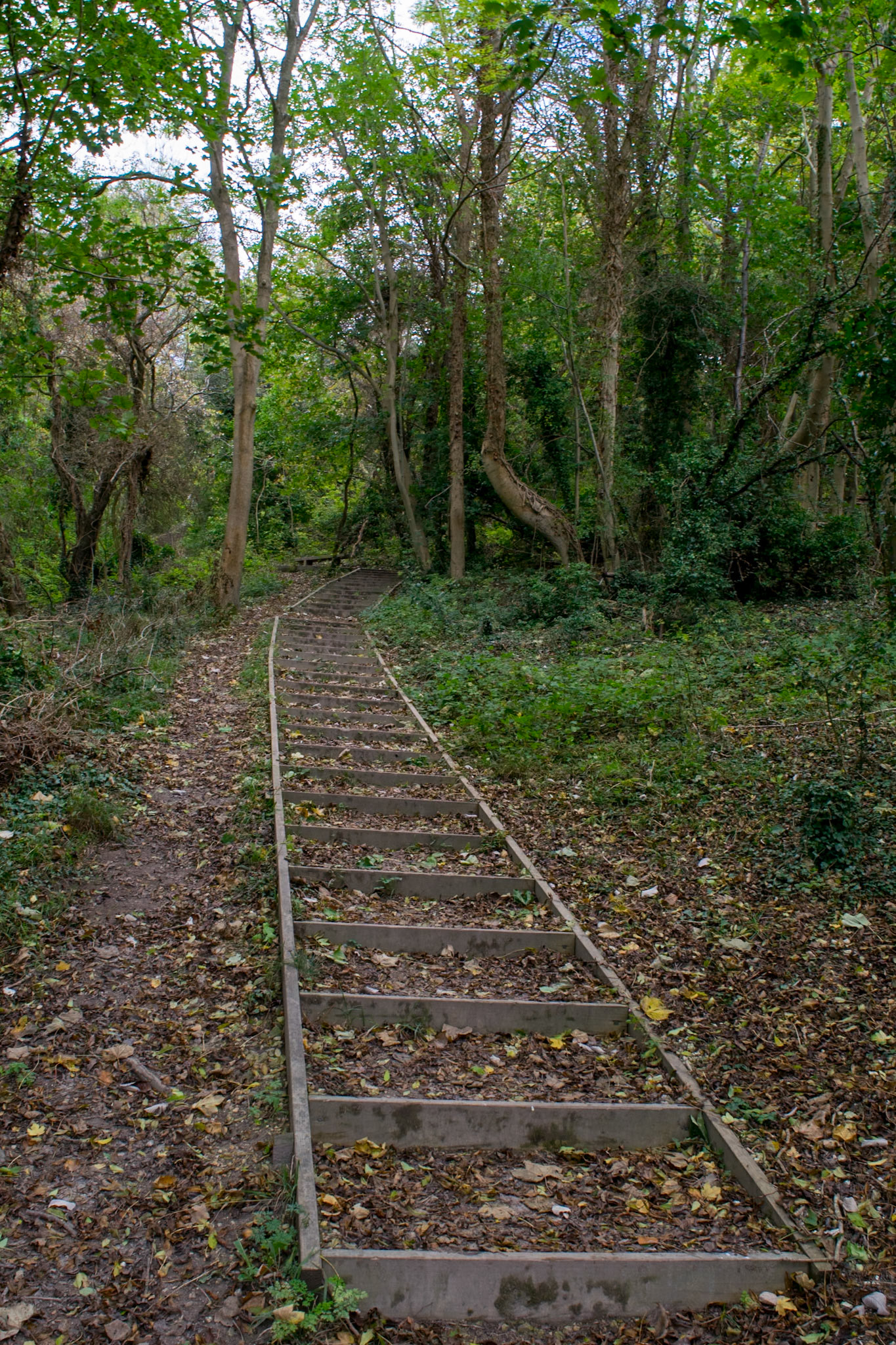
Path above Wendover
Path above Wendover
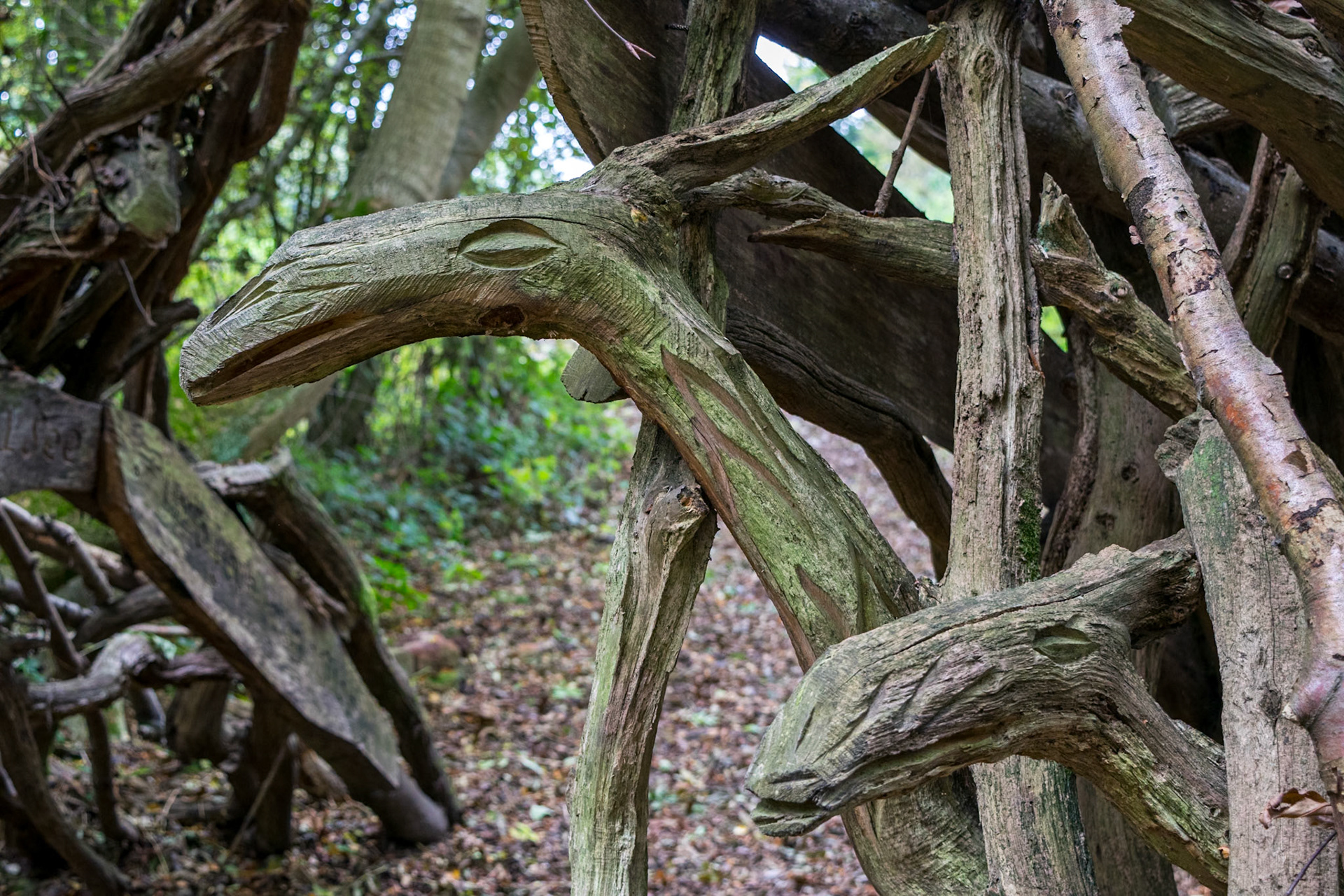
Wood sculptures near Hastoe
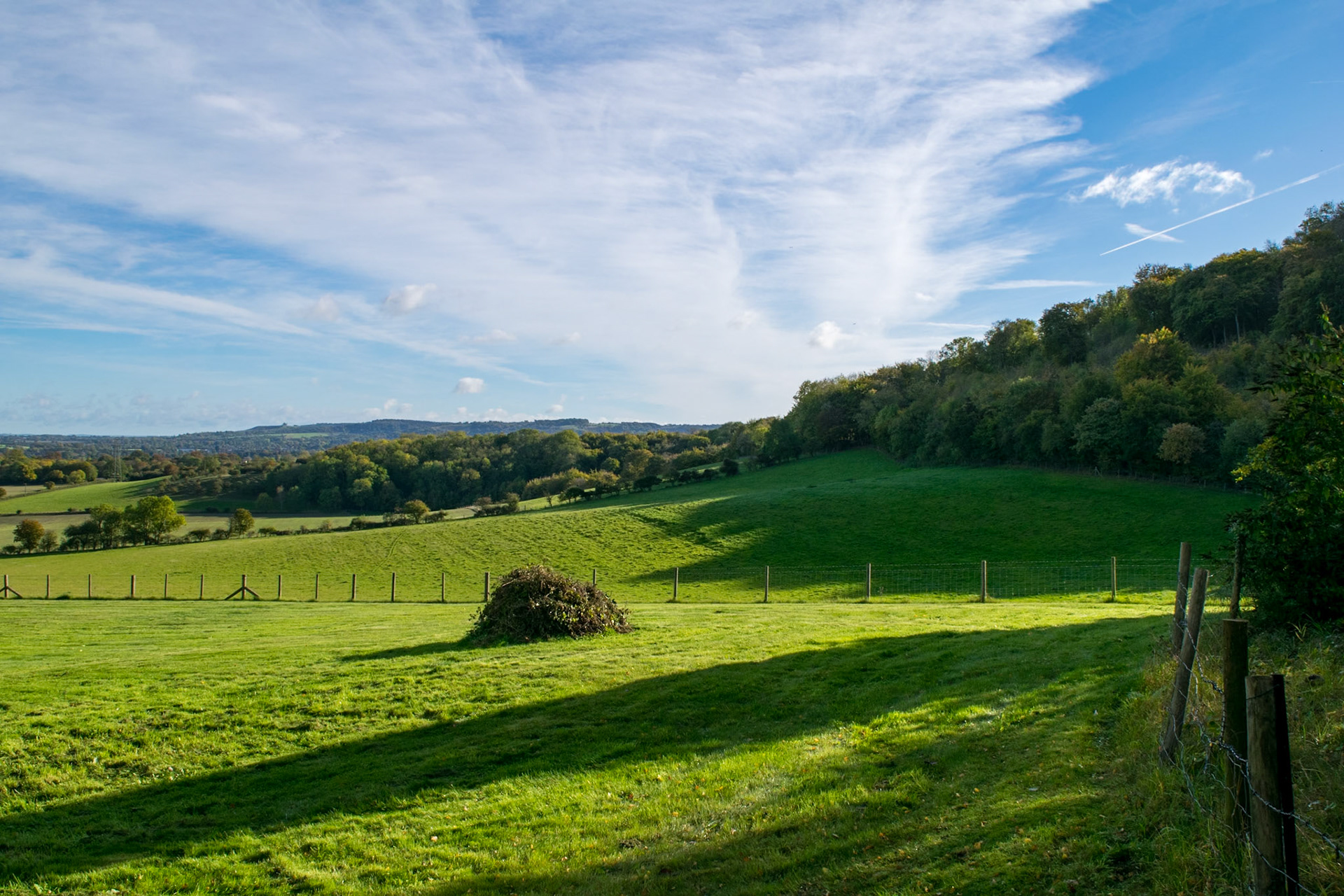
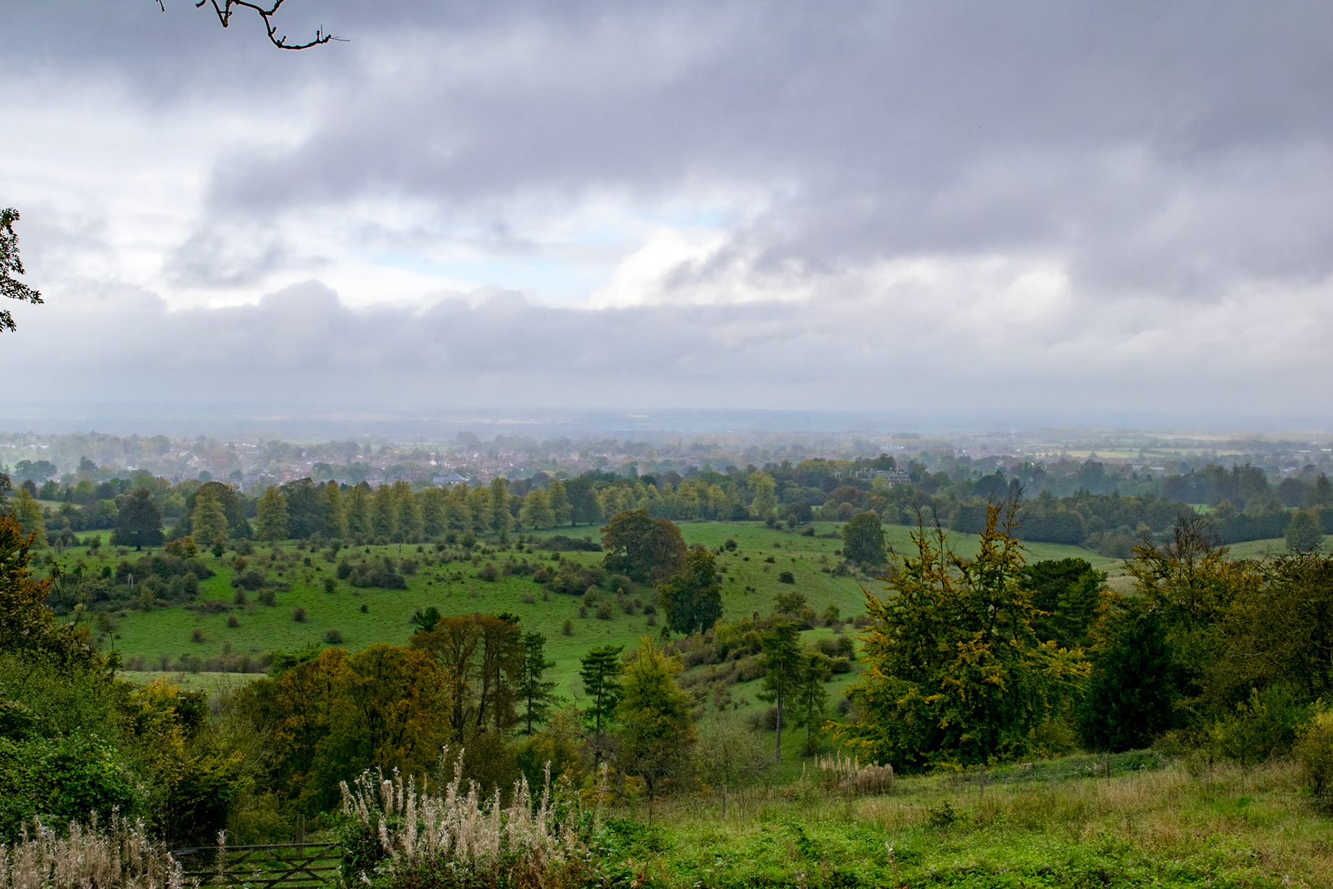
View from Path beyond Hastoe
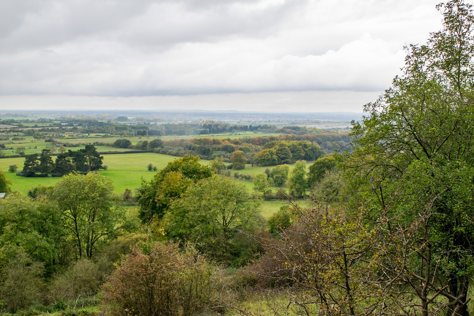
View from Ridgeway above Tring
Ridgeway above Tring
Approaching Beacon Hill, near Ivinghoe
Approaching Beacon Hill, near Ivinghoe
Ian and John selfie at finish, Beacon Hill, Ivinghoe